








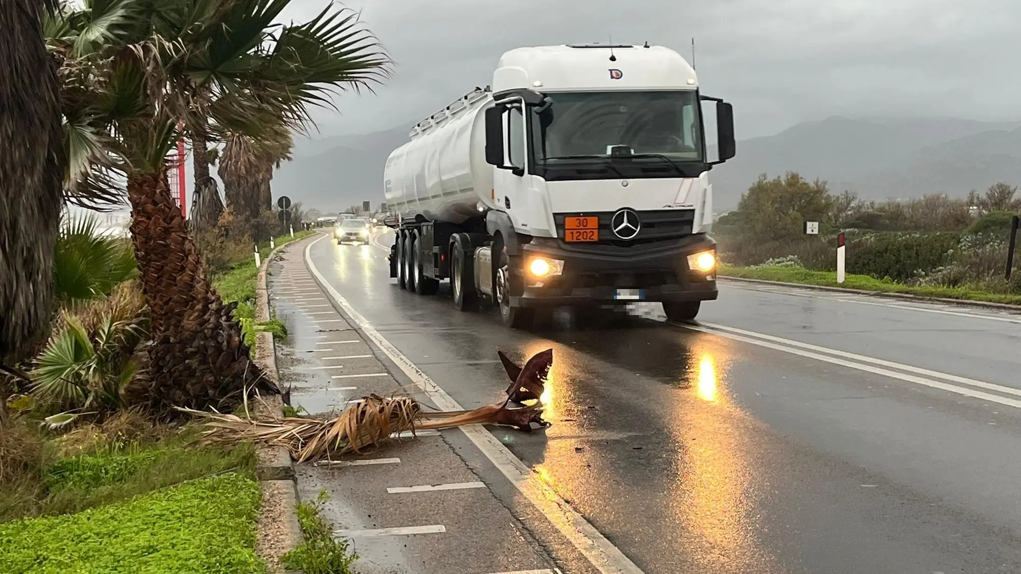


The rain that usually falls over two months could fall within 24 hours in Ogliastra, around 200 millimeters. It will drop slightly to over 100-150 millimeters in Sulcis, Sarrabus, Gallura, and Baronia. Furthermore, sirocco winds will gust over 100 km/h and cause storm surges with waves up to 6 meters high .
This is the picture painted by the ARPAS meteorological sector at the Civil Protection meeting held yesterday. Colonel Carlo Spanu, of the Italian Air Force Meteorological Office in Decimomannu, spoke bluntly of an "extreme" phenomenon, of "exceptional conditions, which don't happen every month, or every few months, or even every year."
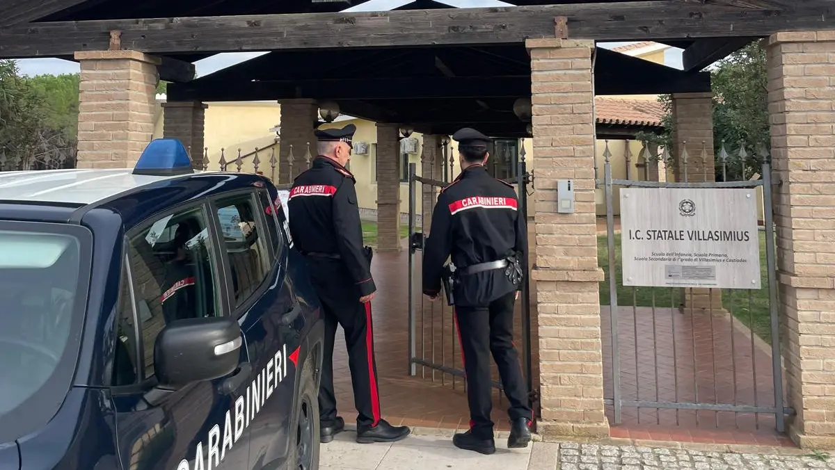
For two days, the eastern and southern parts of the island have been under lockdown, with dozens of orders ( including one in Cagliari ) closing schools, universities, public offices, parks, cemeteries, and sports facilities . In the capital, CTM buses transiting through Pirri have been diverted, as is always the case with the municipality under special observation due to flooding.
Civil Protection monitoring has been active since 9:00 PM yesterday evening, when the yellow alert officially went into effect. The alert will become orange starting at 9:00 AM, and red starting at 12:00 PM for the eastern and southern parts of Sardinia . In the heart of the island, in the Tirso area, it will remain orange . This will continue until 11:59 PM today, Monday, January 19th. However, the wave of bad weather is expected to continue into Tuesday: a new Civil Protection bulletin is expected today, but municipalities have already decided to close everything for tomorrow as well.
Particular attention has been paid to the combination of rain and storm surges, particularly on coastal roads: in the event of high waves. Similar monitoring activities are underway at fords, river mouths, and sensitive infrastructure.